Ward 2 has major projects and planning applications underway. This page tracks what is proposed, what has been approved, what is under construction and what happens next.
I built this page to separate proposals from approvals, show which level of government is responsible and list the questions residents deserve to have answered.
Plain language, official sources and a clear line between what is proposed and what is approved.
15Ward 2 projects tracked Source-linked updates
How to read the tracker
How to read each card
Each card shows the current stage, explains why the project matters locally, links to an official source and lists my questions.
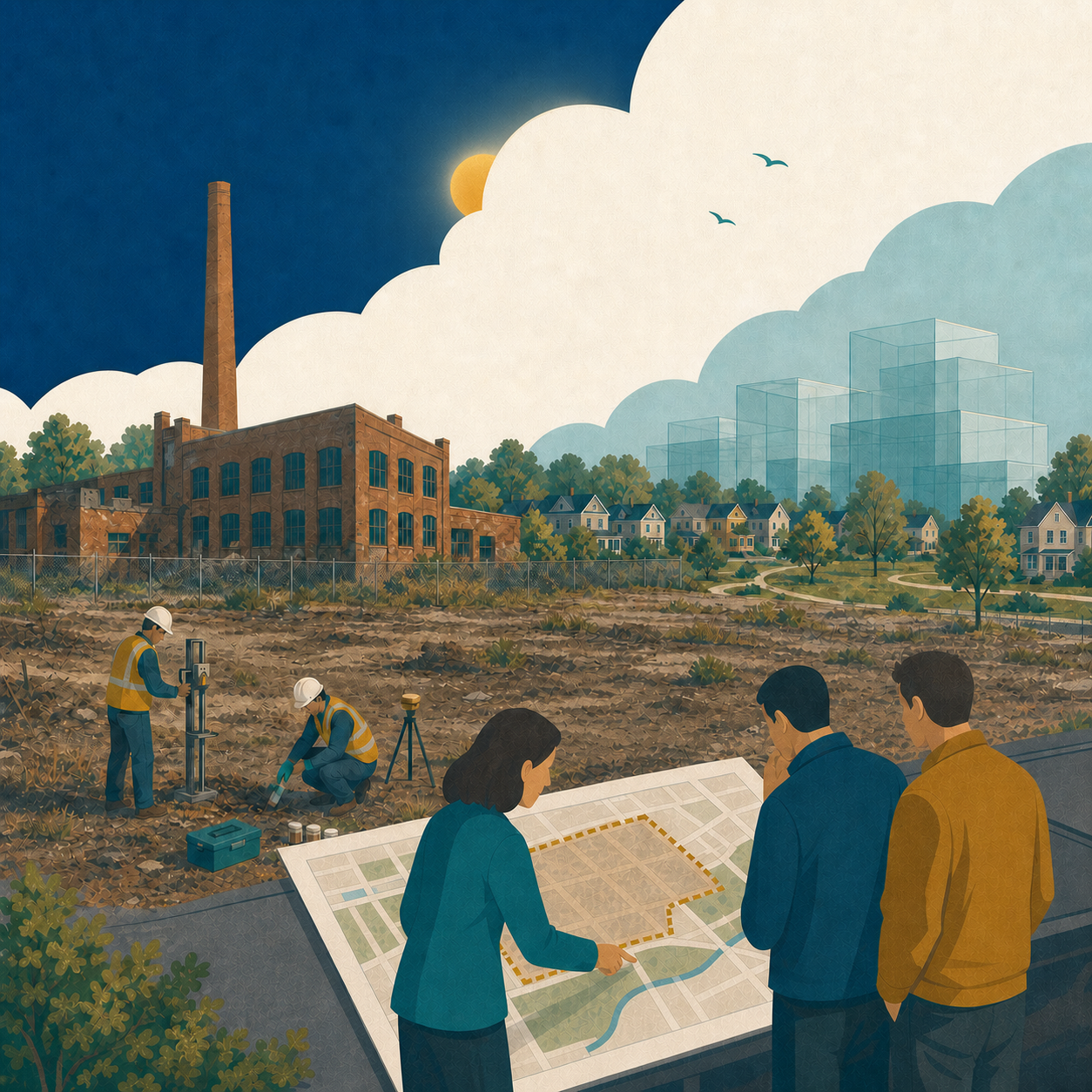
A proposal for the former Goodyear plant at 45 Raynes Avenue: about 3,200 homes in buildings of 4 to 25 storeys, just under 10,000 square metres of shops and services, parks, open space and stormwater facilities on roughly 16 hectares beside Bowmanville Creek. The two heritage buildings and the smokestack would be kept. The statutory public meeting was held May 11, 2026. The Municipality says no decision has been made and staff will bring a recommendation to Council when their review is complete. Separately, after a fire in October 2025, the Municipality ordered the owner to make the buildings safe, and that order is before the courts.
Why it matters
This is a large redevelopment of a former industrial site close to established neighbourhoods and Downtown Bowmanville. Its size raises important questions about roads, traffic, environmental cleanup and how new development will fit beside nearby homes.
Where I stand
The site should be redeveloped. I do not support the proposal as it currently stands. Density on a former industrial site near downtown makes sense in principle. Density at this scale does not, until someone has shown that the roads, the cleanup and the connections can handle it.
My questions
Before I could vote for any version, I would need clear answers on five things:
Traffic. What the transportation study shows for Liberty Street, Baseline Road and the downtown intersections, and what improvements would be built, by whom, and before which phase.
Fit. How heights step down toward the existing homes on the north side, so the tallest buildings sit furthest from the neighbourhood and nearest the rail corridor.
Cleanup. What the environmental site assessments have found, how contaminated soil and groundwater will be managed, whether there are pathways toward Bowmanville Creek, and confirmation that a Record of Site Condition will be filed and independently verified before anyone moves in. Also, what the Ministry of the Environment found after the October 2025 fire, including any creek sampling results.
Parks and the creek. What parkland, trails and creek valley access the plan delivers, and whether they come in the first phase or the last.
Who pays. Which roads, servicing and community facilities the developer funds, what would fall to existing taxpayers, and what financial securities the developer will post so those obligations do not land on the Municipality if a phase stalls.
How to have your say
The supporting studies are public documents. The planner on the file, Ruth Porras, will share them on request: rporras@clarington.net, 905-623-3379 ext. 2412. Send your comments in writing and ask to be added to the interested parties list so you receive notice of Council’s decision. To speak when it returns to Council, contact the Clerk’s Division to register as a delegation (opens in a new tab).
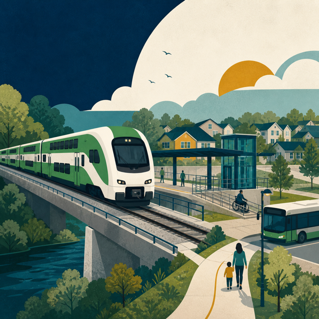
Metrolinx awarded the major construction contract in January 2026 for the 18.7-kilometre extension from Oshawa to Bowmanville. Early works began in March 2025, and bridge reconstruction is among the first major activities.
Why it matters
GO service will change how people travel and will influence development, traffic and local transit around the future Bowmanville station.
My questions
How will residents get to and from the station safely and efficiently?
What road and intersection improvements will be needed as station-area development grows?
How will Durham Region Transit connect neighbourhoods to the station?
How will construction impacts be communicated and coordinated?
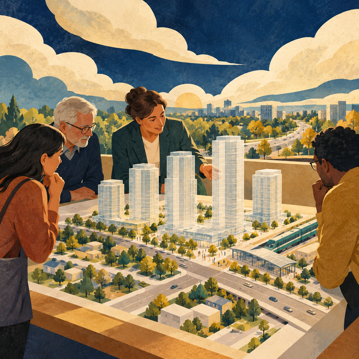
Nine mixed-use towers of 30 to 40 storeys, with approximately 3,900 homes, were proposed near the future station in 2024. At the statutory public meeting on June 17, 2024, Council’s Planning and Development Committee referred the applications back to staff to work with the developer on a plan with a maximum of 18 storeys (Resolution #PD-053-24, carried 6 to 0). The official project page lists files COPA2024-0001, ZBA2024-0002 and S-C-2024-0001 and does not post a decision or a revised plan. This is a proposal, not an approval.
Why it matters
A proposal of this scale needs clear answers on roads, servicing, public space and access to the future station.
My questions
What infrastructure must be delivered before occupancy?
Who pays for those improvements?
How will phasing and public input shape the proposal?
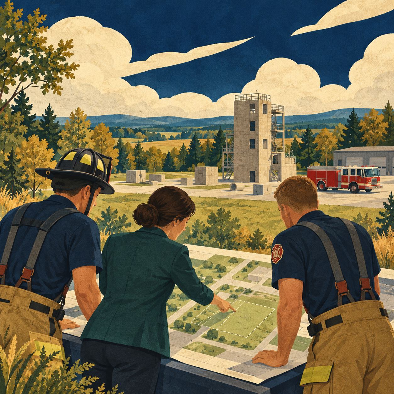
On August 10, 2026, Council approved a revised approach to the Liberty Street North and Concession Road 4 project. The Municipality confirms the fire hall and training facility cannot proceed at that location under Greenbelt rules. The training facility, supported by a $3.2-million provincial grant, must move to a site yet to be determined. Staff are exploring sites and partnerships. The fire hall is a separate future project: updated growth projections indicate it is not expected to be needed for approximately seven to ten years, and its remaining budget returns to the development charges reserve.
Why it matters
Response times in a growing ward depend on decisions made years ahead about stations, staffing and training. Residents deserve clarity on the new training location and the conditions and deadlines attached to provincial funding.
My questions
What are the conditions and deadlines on the provincial funding?
Which alternative sites and partners are being considered?
When will the Station 4 full-time transition be complete?
When will the Fire Master Plan be updated, and will the Association be at the table?
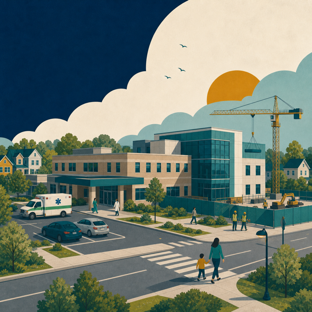
The Request for Proposals closed on June 23, 2026. Lakeridge Health says contract award is expected in fall 2026, with construction anticipated to begin shortly afterward. The redevelopment will more than double the size of the current hospital.
Why it matters
The redevelopment will increase local health care capacity and will also affect surrounding roads, parking, pedestrian movement and construction activity.
My questions
Are road, parking and pedestrian improvements being coordinated with the construction schedule?
How will nearby residents and businesses receive timely construction updates?
What work falls to Lakeridge Health, Clarington, Durham Region and the Province?
How can Council support the project without promising outcomes outside municipal control?
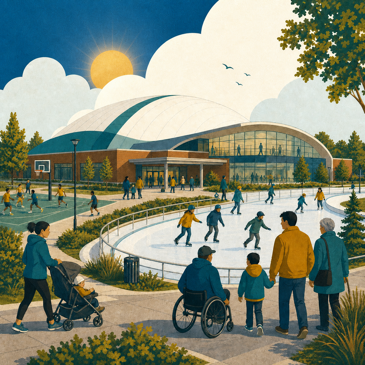
Formerly called the South Bowmanville Recreation Centre, the complex welcomed residents into its multi-sport dome at an October 3 open house. Dome programs began October 13, 2026. Courts, program spaces, the skating trail and other amenities are still to come. The Aquatics Centre is planned for 2027. The opening of the dome does not mean the entire complex is complete.
Why it matters
This is one of Clarington’s largest community infrastructure projects and will serve a rapidly growing part of Bowmanville.
My questions
Will opening timelines and programming be communicated clearly?
Are parking, access and surrounding road improvements ready for increased activity?
How will the facility serve different ages, abilities and recreation needs?
How will future project costs and major changes be reported publicly?
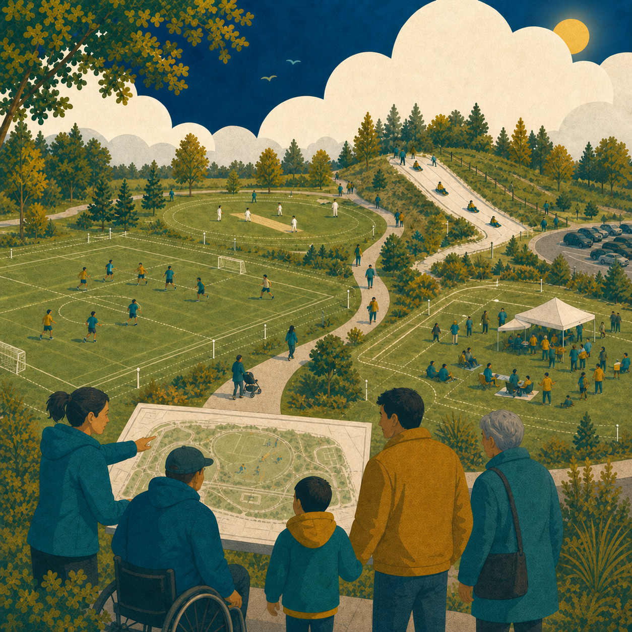
Clarington acquired 20 hectares immediately west of the Bowmanville Community Complex in February 2026. Preliminary concepts include soccer, cricket, a sanctioned toboggan hill, trails, parking and space for large community events. Public consultation is scheduled for fall 2026.
Why it matters
The site could become a major recreation and events destination, with implications for traffic, parking, programming, cost and nearby neighbourhoods.
My questions
Which recreation needs do residents want this site to address?
How will traffic, parking and large-event impacts be managed?
What will the full project cost, and how will each phase be funded?
How will accessibility, trails and connections to the recreation centre be designed?
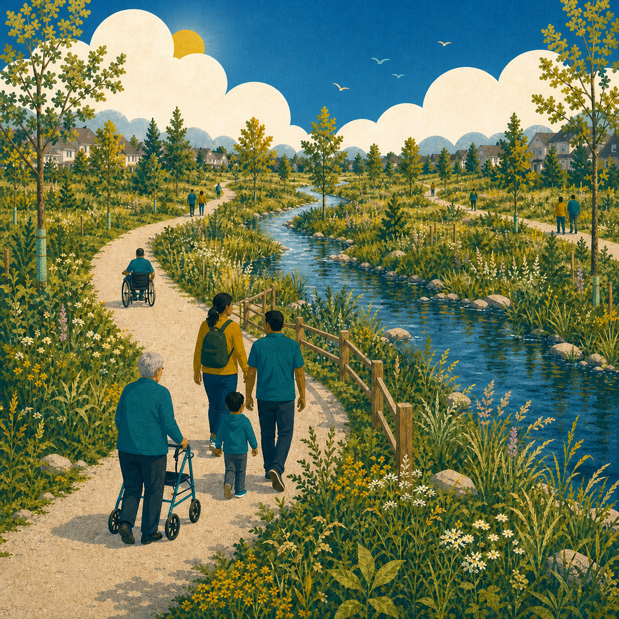
The first phase of trails on the former Bowmanville Zoo lands is now open. Approximately 700 metres of accessible asphalt and crushed-limestone trails have been completed, along with naturalization planting, benches and related improvements.
Why it matters
The site can become a significant public green space and trail connection in east Bowmanville.
My questions
How will the trail system connect to surrounding neighbourhoods?
What accessibility features will be included in future phases?
How will the natural features of the Soper Creek area be protected?
What is the timeline and funding plan for later phases?
Clarington Council approved a new municipality-wide Community Improvement Plan in August 2026. The plan provides tools to support revitalization, redevelopment and private investment through grants and other incentive programs. The new plan takes effect January 1, 2027.
Why it matters
Downtown Bowmanville is both an economic centre and an important part of local identity. Municipal decisions on accessibility, public space, parking, heritage and redevelopment can affect how easily people visit and invest downtown. If elected, I will make sure Ward 2 businesses know how to apply for the new Community Improvement Plan grants.
My questions
Which programs will best support accessibility and reinvestment?
How can parking and wayfinding be clearer for visitors?
How should heritage character and new investment work together?
How can growth around downtown bring more customers without making access harder?
Clarington is updating its long-term vision for 34 kilometres of Lake Ontario shoreline. The draft strategy focuses on public access, trail connections, accessibility, environmental protection, shoreline resilience and distinct waterfront experiences in Courtice, Bowmanville and Newcastle.
Why it matters
The Bowmanville waterfront is a major public asset. Long-term planning will shape future access, trails, recreation, environmental protection and investment.
My questions
How can Bowmanville gain better public access and trail connections?
Which ideas are realistic in the near term and which require additional environmental or engineering study?
How will capital costs and long-term maintenance be funded?
How will public access be protected as surrounding areas grow?
Durham Region is developing a Transit Station Charge for new development near the planned GO stations in Bowmanville, Courtice and Oshawa. The charge would help pay part of the design and construction costs for the new stations. It would apply only to new development in designated station areas and would not be added to property taxes. The draft still requires Regional Council endorsement and provincial consent before it can take effect.
Why it matters
The proposal connects growth, GO funding and who pays for new infrastructure. It matters to residents because it is intended to have development near the stations contribute to station costs instead of using property-tax revenue.
My questions
How much would the charge raise, and how much of the station costs would it cover?
Which Bowmanville properties would fall within the charge area?
How could the charge affect housing and commercial development near the station?
What exemptions or special rules would apply?
How will residents be able to see what is paid by development and what remains a public cost?
Clarington’s Asset Management Plan identifies a gap of about $10.4 million a year between what the Municipality spends and what it needs to invest just to keep existing roads, parks, stormwater systems and facilities in good repair. Council has approved a 20-year strategy to close it.
Why it matters
This gap will shape every budget next term. The plan warns that the longer the gap goes unaddressed, the larger the shortfall becomes. Residents need to know which repairs will be funded first.
My questions
How much of each year’s budget goes to the gap?
Which Ward 2 roads, sidewalks and facilities are first in line?
What grants and partnerships can reduce the share on the tax bill?
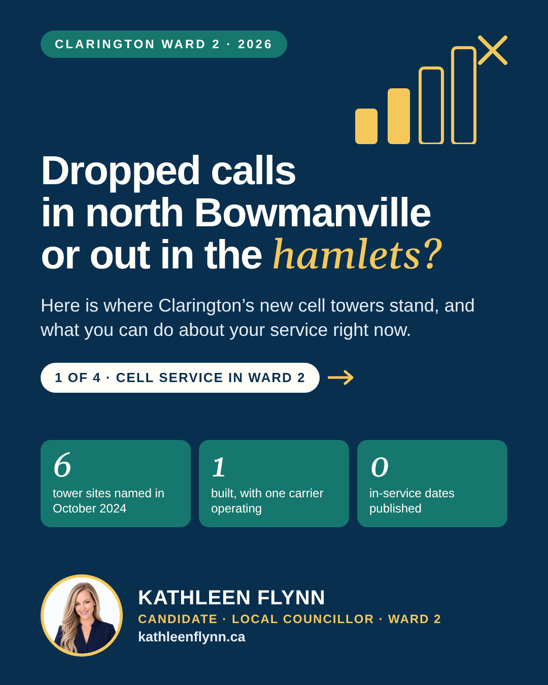
Built from the Municipality of Clarington's June 2026 cell tower update. Full details and sources are below.
What it is
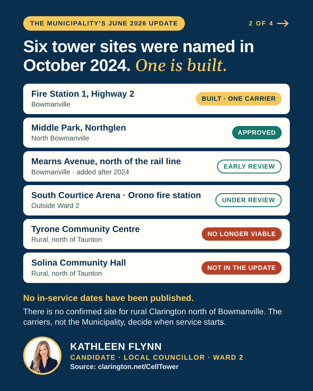
On October 28, 2024, Council approved a partnership with Shared Tower, a company that builds cell towers and leases space on them to carriers such as Bell, Rogers and Telus. The Municipality’s announcement named six possible sites on municipal land. This is where things stand in the Municipality’s June 2026 update:
Fire Station 1, Highway 2, Bowmanville: built, with one carrier operating.
Middle Park, Northglen, Bowmanville: application approved.
South Courtice Arena: application under review.
Fire Station 3, Orono: application under review.
Mearns Avenue, Bowmanville, north of the rail line: under preliminary review. This site was not on the 2024 list.
Tyrone Community Centre: no longer considered a viable site.
Solina Community Hall: named in 2024, not listed in the June 2026 update.
The Municipality has not published in-service dates. It says construction typically takes five to 10 weeks once a design is final and at least one carrier has committed, and that the carriers decide when service begins. Shared Tower is still looking at possible sites in rural Clarington, but none has been confirmed.
Why it matters
A dropped call is more than an inconvenience when you are trying to reach 911, a doctor or your child’s school. I hear about dropped calls in north Bowmanville and in the rural hamlets. Of the sites still moving ahead, only the Orono fire station is north of Taunton Road, and it is not in Ward 2. The two rural sites named in 2024, Tyrone and Solina, have no published path forward, and there is no confirmed site for rural Clarington north of Bowmanville.
Who decides
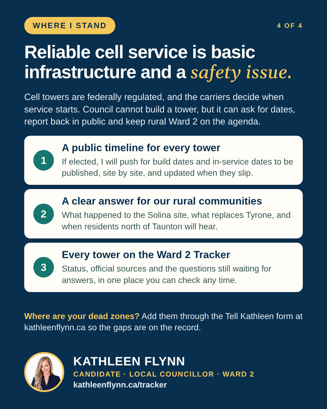
Cell towers are regulated by the federal government, not by Council. The carriers decide where they put their equipment and when service starts. The Municipality’s part is to offer its own land, review each proposal under its cell tower protocol and see that the public is consulted.
Where I stand
Reliable cell service is basic infrastructure and a safety issue. Council cannot build a tower or order a carrier to switch one on, but it can ask for dates, report back in public and keep rural Ward 2 on the agenda. If elected, I will push for a public timeline for every tower and a clear answer for our rural communities.
My questions
When will each approved tower be built and in service, and which carriers have committed to each one?
In 2024, Shared Tower said towers could be built six to eight months after a location was approved. What has taken longer?
What happened to the Solina Community Hall site, and why is it missing from the June 2026 update?
With Tyrone ruled out, which rural sites are being looked at, and when will residents hear?
How will residents be notified and consulted before a tower goes up near them?
What you can do now
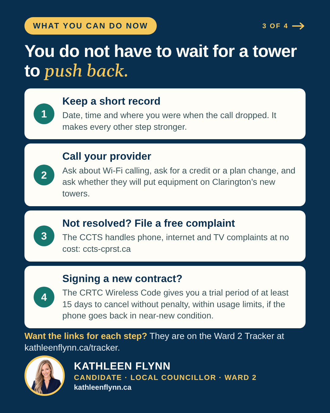
Keep a short record of dropped calls: the date, the time and where you were.
Call your provider. Ask about Wi-Fi calling, ask for a credit or a plan change, and ask whether they will put equipment on Clarington’s new towers.
Not resolved? File a free complaint with the CCTS, the national complaints body for phone, internet and TV service, at ccts-cprst.ca ↗.
Signing a new contract? If it has an early cancellation fee, the CRTC’s Wireless Code gives you a trial period of at least 15 days to cancel without penalty, as long as you stay within the usage limits and return the phone in near-new condition. The trial period is at least 30 days if you identify as a person with a disability.
Questions about a specific site? Contact Clarington’s Planning and Infrastructure Services at planning@clarington.net or 905-623-3379 ext. 2660.
Alto is the federal Crown corporation planning a high-speed passenger rail line between Toronto and Québec City. Seven stations are planned: Toronto, Peterborough, Ottawa, Montréal, Laval, Trois-Rivières and Québec City. None is in Durham Region. Pickering and Durham Region are asking for a station; Alto has not agreed to one.
No route has been decided. Alto is studying a corridor about 10 kilometres wide and says it will narrow that to a right-of-way about 60 metres wide. The study corridor covers north Clarington. Its southern edge runs close to Highway 407, just north of Hampton, and it takes in Solina, Enniskillen, Burketon and Leskard.
Alto’s first public consultation ran from January to April 2026 and is now closed. Alto says it will consult before the end of 2026 on a narrower corridor for the Ottawa to Montréal segment. The Toronto to Ottawa segment, which includes Clarington, comes later, and no date has been given.
Why it matters
A 60-metre right-of-way built for long, straight track would cross farms, rural roads and creeks wherever it lands. Until a route is chosen, property owners across north Clarington cannot plan with certainty.
A federal law in force since March 26, 2026, the High-Speed Rail Network Act, gives the project strong powers over land. A right of first refusal can be registered on a property for up to eight years. Work on land can be prohibited for up to four years. An owner has 30 days from the published notice to object to an expropriation, in writing. There is no public hearing.
Who decides
This is a federal project. Clarington Council does not choose the route and cannot stop the project. Council can speak up for residents, ask Alto for information and decide how the Municipality responds when Alto asks for its co-operation.
Where I stand
I oppose Alto as it is currently proposed. I have signed the United Against Alto candidate pledge ↗. I still support better passenger rail for our region.
This is a federal project. Council does not choose the route and cannot stop it, but it does decide how Clarington responds when Alto asks for its co-operation. If elected, I will:
The project pays, not Clarington taxpayers. Work to make sure the cost of changes to our roads, drainage and services lands on the project, not on local property taxes.
Studies before sign-off. Ask for the full studies on roads, drainage, crossings and emergency response, and staff’s own analysis, before Clarington agrees to anything it is not required to.
Transparency matters. Push for Alto to be dealt with in public session and resist any request for a confidentiality agreement. Where the law requires a closed session, I will follow it and press to report out as much as possible.
My questions
When will Alto consult on a narrower corridor for Toronto to Ottawa, and how will north Clarington residents be notified?
Will the route follow existing corridors such as Highway 407, as residents suggested in the first consultation?
How many Clarington properties could be affected, and when will owners be told?
What happens to rural roads, crossings, drainage and emergency response routes, and who pays for the changes?
Has Clarington been asked to sign a confidentiality agreement, and what has Alto asked the Municipality for so far?
How to have your say
Your land, your say. Decisions about your land should not be made without you. If elected, I will press Alto and the federal government to consult affected owners directly before any route is fixed, and keep you informed at every step.
Alto’s first consultation is closed, and the next one for our segment has no date. In the meantime, you can send questions and comments to Alto through the contact page on its website ↗, and you can write to your Member of Parliament ↗, because this is a federal decision. Alto says the project will also go through a federal impact assessment, which will give the public another chance to comment. Please also tell me how this could affect your property or your road.
A developer, 2265719 Ontario Inc., has applied to build a phased mixed-use development on the vacant 4.63-hectare parcel at the northeast corner of Bowmanville Avenue and Concession Road 3, inside the Northglen neighbourhood. The current proposal is 771 homes:
636 apartment units in four buildings: 9 storeys on Bowmanville Avenue, 7 storeys on Concession Road 3, and 6 and 5 storeys further into the site
75 link townhouses and 60 stacked townhouses
about 2,000 square metres of ground-floor retail facing the two main roads
a town square, a parkette beside the stormwater pond, and two levels of underground parking
The first submission in April 2024 was 503 units. The revised plan submitted in June 2025 is 771 units. The Northglen Neighbourhood Design Plan already identified this corner for mixed-use, commercial and higher-density housing with a park, so some form of apartment and retail development has been planned here for years. What is new is the height and the number of units.
Why it matters
The Clarington Official Plan allows buildings of 2 to 6 storeys on this corner. The developer is asking Council to amend the Official Plan to allow up to 9 storeys, and to allow the condominium blocks to reach the public street through a shared private easement rather than each having its own access. The zoning also has to change from Agricultural to Mixed-Use and Urban Residential. At the November 2025 public meeting, staff reported 27 inquiries before the meeting and about fifteen residents spoke. Their concerns were traffic (the traffic study dates from 2021), school and daycare capacity, well water and water pressure, drainage, privacy and shadowing, and the jump from the original proposal. Staff have said they will also review whether the shared-easement arrangement affects emergency vehicle access and response times.
Who decides
Clarington Council decides both the Official Plan Amendment and the Zoning By-law Amendment. The statutory public meeting was held at the Planning and Development Committee on November 10, 2025. Committee received the staff report for information only and directed staff to keep processing the applications and bring back a recommendation report (Resolution #PD-103-25, ratified by Council on November 17, 2025). As of October 15, 2026, no recommendation report has been tabled and Council has made no decision, so the decision will almost certainly fall to the Council elected on October 26, 2026. Since the 2024 changes to the Planning Act (Bill 185), neighbours cannot appeal a Council decision on an application like this, so residents have to be heard before Council votes.
Where I stand
The Official Plan is the commitment residents bought their homes on. If a developer wants more than it allows, the burden is on them, not the neighbourhood, to show that the roads, schools, water, drainage and emergency access can handle it, and that the design respects the homes next door. I would need to see that case made with current evidence before I could support going above what the plan permits. Growth should also pay for its own infrastructure through development charges, not existing taxpayers. I lived in Northglen, and I am hearing from residents there that water pressure in the neighbourhood is already only just meeting the minimum. That is exactly the kind of question that has to be answered before anything is approved.
My questions
Who pays for the road, water, sewer and stormwater upgrades this development needs, and when are they delivered?
Has the 2021 traffic study been updated, and does it include the other developments now proposed along Concession Road 3?
Can the water system serve 771 more homes without making pressure worse for the homes already in Northglen?
Do the local schools and daycares have room, and what do the school boards say?
Does the shared-easement access meet the fire department’s standard for emergency access and response times?
What does the design do at the edges, through step-backs and setbacks, to respect the low-rise homes next door?
Will any of the 771 units be affordable or purpose-built rental, and on what terms?
How to have your say
Send written comments to the planner on the file, Nicole Zambri, Principal Planner, at nzambri@clarington.net or 905-623-3379 ext. 2422. Written comments go into the record and have to be addressed in the recommendation report.
Ask her to add you to the interested parties list so you receive updates on the application.
If you want to be notified of Council’s final decision, make a separate written request to the Municipal Clerk at 40 Temperance Street, Bowmanville, ON L1C 3A6.
Traffic, development, parks, local services or something else? Tell me what is happening, where it is happening and what you think Council should understand. You do not need to be a campaign supporter to write.